Helpful resource highlights California's early Chinese history
Learn more about China Camp and other locations
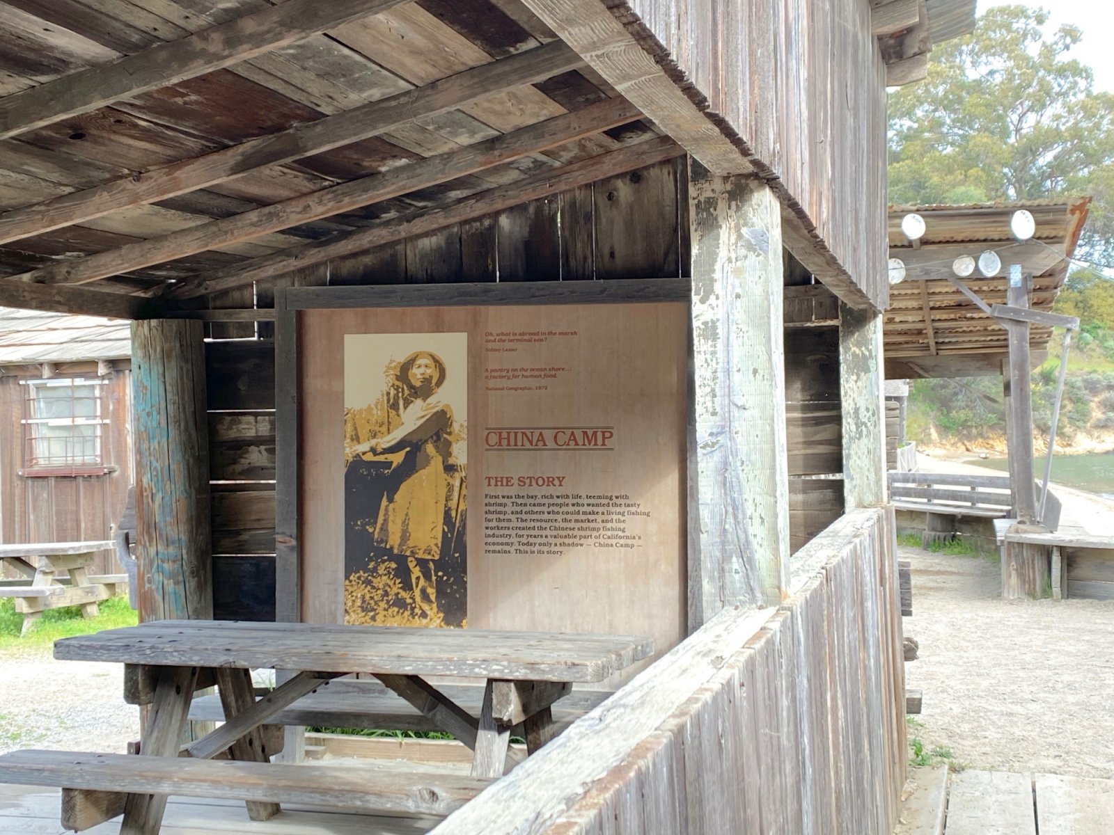
When you think about how hard early Chinese immigrants worked when they flocked to California during the Gold Rush, it’s enough to make you sit down and take a nap. These industrious immigrants helped build railroads (by hand), mine ore, construct levees, and do the myriad tasks and trades it took to create a thriving Golden State.
Now you can discover key sites in Northern and Central California where Chinese settlers had a significant historical presence. The Locke Foundation, based in the Central Valley, has compiled an excellent list of the key sites around the state, including China Camp, that chronicle the history of Chinese immigrants and their early settlements in California. It’s a chance to find out where you can discover more about the lives, homes, and jobs of early Chinese settlers all over the state. Our thanks to the hardworking volunteers of the Locke Foundation who helped assemble this important compilation.