Emergency Locator System
Special numbers help emergency responders find you.
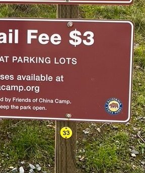
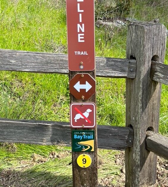
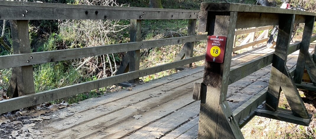
In order to help first responders and staff locate you in the event of an emergency, China Camp now has an Emergency Locator System. These special locator numbers—shown as black numbers in a yellow circle—are affixed to trail posts, trailhead signs, and bridges throughout the park, correspond to maps used by emergency responders. When you call 911 for help, you can share your location based on the nearest emergency locator number, meaning help can get to you faster.
How to use the Emergency Locator System:
- If you’re lost, injured, or need emergency assistance for any reason, call 911.
- If you’re able look for the Emergency Locator number (black numbers on a yellow circle) nearest you. Numbers are posted on trail signs and posts as well as bridges.
- If you know where you are but you are not near a locator number, use this map to find your location and the nearest locator number, and share it with the 911 emergency dispatcher.
Emergency Locator Map
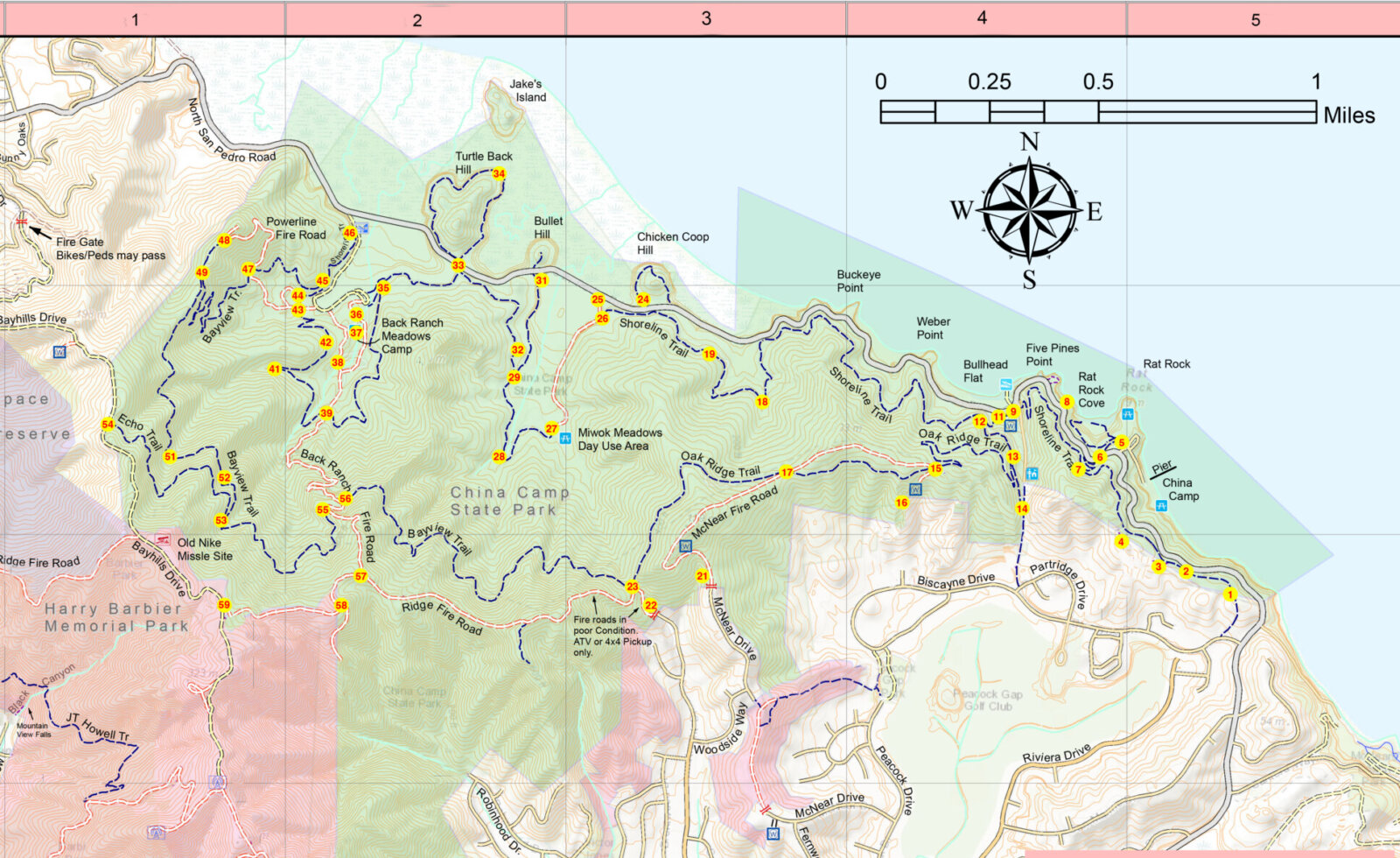
Numbered Emergency Locator Map: San Rafael Fire Department