The name game
Rat Rock? Bullet Hill? Test your place-name smarts with this quiz
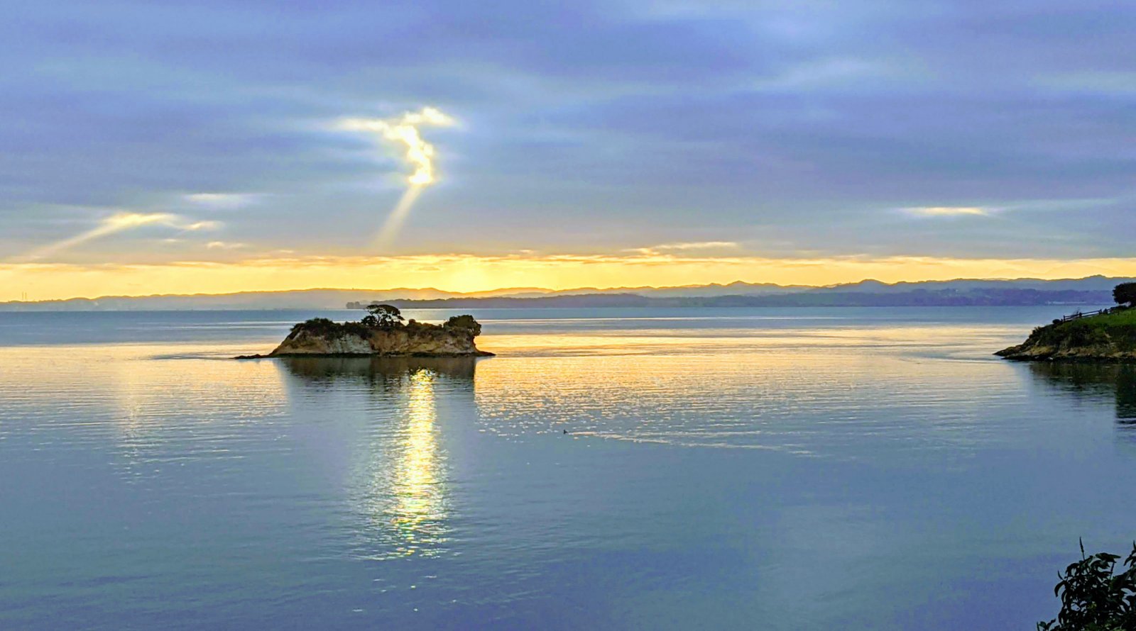
When Chinese immigrants first settled on the beaches along the San Pedro Peninsula in the 1860s, it wasn’t a hugely creative stretch to call the location “China Camp.” But other places in and around the park, indicated on this park map, have more colorful names that can elicit a head-scratch or two. Our team did some digging to find out the original sources, which we share at the end of this article. How many can you guess correctly?
- San Pablo Bay: Fronting China Camp’s shoreline, this bay is actually the northwestern lobe of San Francisco Bay. How did this part of the bay get its name?
- A Spanish missionary priest gave the name “San Pablo” to a point on the bay’s east side. Eventually, the moniker was adopted for the entire bay.
- The name honors a Spanish explorer, Pablo Montalban, who was the first European to enter the bay and to travel up the Petaluma River.
- Spanish fishing boats once took to these waters during the third week of August in honor of their patron saint, San Pablo.
- It’s named after a town on the East Bay shoreline.
- Rat Rock: This diminutive island just northwest of China Camp Village has a decidedly odd name. What’s the source?
- From above, the island resembles the shape of a rat.
- Rats have been found on the island.
- On a dare, a local fisherman tossed a dead rat from the shoreline all the way to the island.
- The island was named after Festus Ratner, who collected mussels here in the 1800s.
- Back Ranch Meadows: Fronting China Camp’s campground, this broad meadow gets its name from what historic use?
- There was once a dairy on this site known as Back Ranch Meadows Dairy Products Company.
- The meadow, at the edge of grazing lands for the McNear family’s cows, was referred to then as the “back ranch.”
- The land at one time was owned by Josiah Back, one of Marin County’s first European settlers.
- “Back Ranch Pictures” was the name of an motion picture company that filmed silent movies in the area.
- Jake’s Island: This bayfront mound is best viewed from across the tidal wetlands on the northernmost point of Turtle Back Trail. It was named after which colorful character?
- Jake Randall, a 19th-century steamboat captain who once grounded a vessel on the island during a winter storm.
- Jake Mitchell, the longtime superintendent of the McNear family ranch.
- Jake Obitz, a local fisherman and poacher who for many years camped out and lived on the island.
- Jake Mercer, a convict who escaped from nearby San Quentin Federal Penitentiary in 1907. He was eventually chased down and captured on the island.
- Weber Point: A popular fishing and picnicking spot, this scenic point gets its name from what source?
- It’s named after the Emanuel Weber family, who lived in a house on the point for many years.
- E.B. McNear gave the point its name in honor of his Alma mater, Weber State University, in Ogden, Utah.
- A pair of Weber’s starlings, an introduced species originally from Eurasia, once nested here.
- The name honors John C. Weber, a former member of the Marin County Board of Supervisors and a key figure in the creation of China Camp State Park.
- Bullhead Flat: How did this picnic and boat-launching area across from the ranger station get its name?
- From above, the cove adjacent to the picnic area is said to look like a bull’s head, complete with horns.
- It refers to an old ranching technique, when cattle would be herded into the shallow waters here—all the way up to the “bull’s head,” to seek relief from biting insects.
- The waters here teem with small fish known as bullheads.
- It’s a nickname for the plate-size bullfrogs that live in the wetlands here.
- Peacock Gap Trail: This short route which accesses the ranger station has an unusual name. What’s the source?
- It’s named after a flock of escaped peacocks which once roamed the hills and wetlands here.
- In the late 1800s and early 1900s, the Thomas Peacock family lived in a house here, at the base of a natural notch in the ridge.
- It is named after the brilliant, multi-colored display of wildflowers that takes place in the hills here each spring.
- The name recognizes a donation made to the park by the developers of the Peacock Gap Golf Club.
- Bullet Hill: How did the rounded bump east of the Turtle Back Trailhead get its curious name?
- Before the land was protected as a state park, the site was a popular spot for recreational shooting.
- The rounded mound resembles a bullet.
- In the 1840s, when the land was still under Mexican control, two rivals held a duel on the top of the hill.
- The site was once the home of George “Bullet” Jackson, a one-armed Civil War veteran.
- Chicken Coop Hill: This fanciful name for the bayfront hill across from the entrance to Miwok Meadows hints at an interesting history. What’s the source?
- In the early 1900s, the hill was the homesite and barnyard of Cooper “Coop” McPhee, a local day laborer and musician.
- During Prohibition in the 1920s, a speakeasy known as “Chicken Coop” operated on the back side of the hill.
- An old cabin that once stood on the site resembled a (wait for it) chicken coop.
- The poultry operations for the McNear Ranch were located at the base of the hill.
Answers:
Question 1: (1) In 1811, a priest from San Francisco’s Mission Dolores named opposite points on the bay for the apostles San Pablo (on the East Bay side) and San Pedro (on the Marin County side). The water between these points became known as San Pablo Bay.
Question 2: (2) The island was said to be named for a fairly obvious reason: rats lived there. But the island has had other names. One longtime resident of China Camp Village, Ed Wetton, told a tale of rescuing a crying cat from the island, thereafter referring to the spot as “Cat Rock.”
Question 3: (2) This site, owned by Manuel T. And Mary Freitas, was once known as Ford Ranch until 1904. That year, the McNears bought the property for grazing lands. Since the family dairy was located a good distance away, near what’s now used as the 8th and 9th holes of the Peacock Gap Golf Course, the land was referred to as the “Back Ranch.” Cattle continued to graze here until the 1950s.
Question 4: (3) Harry “Jake” Obitz was a roguish character and longtime resident of China Camp, both in the Village and on the island that bears his name. Jake regularly found himself in trouble with the law, poaching wildlife, stealing, bootlegging, and more. Jake’s misadventures often took place in the company of “Mohawk” Bill Saias, a close friend of Frank Quan and Jake’s co-resident on his eponymous island. Jake died in 1952. His son, Harry “Jake” Obitz Jr., was a star athlete at San Rafael High School and became a successful golf pro.
Question 5: (1) The Weber family, originally from Washington State, moved to San Rafael in 1940. The family—Emanuel, Edna, and sons Robert and Donald—lived in a house on the point until the early ’70s. Emanuel was the owner of the Payless Drug Store at 866 4th Street in San Rafael.
Question 6: (3) “Bullhead” is the common name of the Pacific staghorn sculpin (Leptocottus armatus), a small fish that lives in the bay. It gets its name from its broad, wide head adorned with distinctive bony projections (think horns) that the fish can use as defensive weapons.
Question 7: (2) In 1880, Thomas A. Peacock was in his late 20s when he immigrated from Ireland to the U.S., eventually settling in California. He and his wife, Christina, moved into a house that was located on the site of China Camp’s current ranger station. The property lay at the base of a natural gap through San Pedro Ridge, an accessible pass-through that became known as “Peacock’s Gap.” The name stuck, and, with a slight modification (Peacock Gap), it became the moniker for the expansive San Rafael development bordering the park’s west side.
Question 8: (1) Before the park was established, this spot was a popular place for target practice.
Question 9: (3) The old cabin that once stood at this site was said to resemble a chicken coop, and the name stuck. When the state took over the park in 1978, it tore down numerous derelict structures, including the Chicken Coop cabin.
—by Kevin Smead/FOCC volunteer